NOTE: Before reading this blog, I highly recommend you first read The Dempster Highway Experience by MFI published September 1, 2024. Her blog helps put this one in proper perspective.
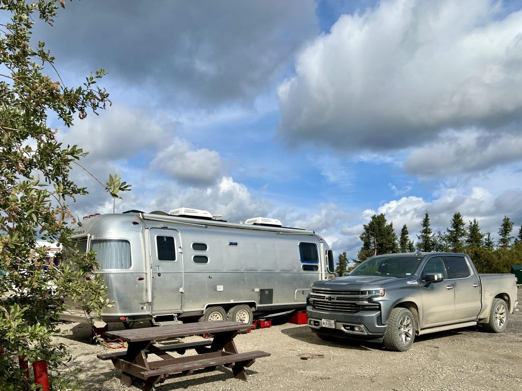
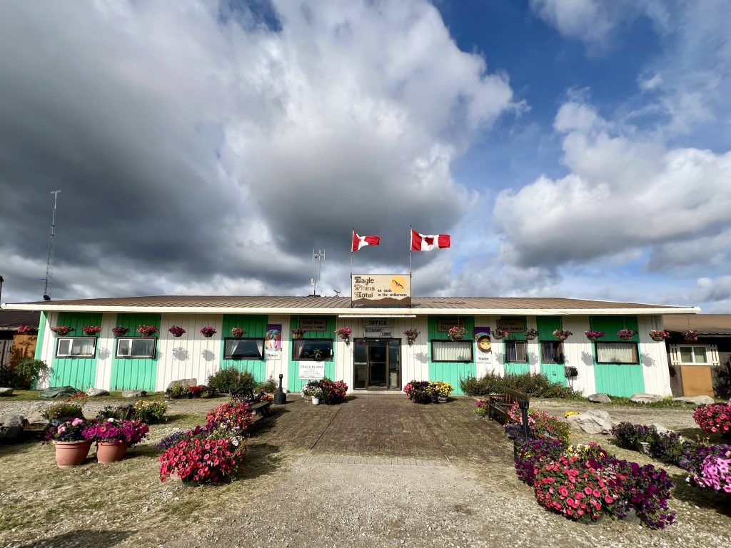
Our next leg was 109 miles to Eagle Plains (population 8-9 depending) and a 1-night stay at “an oasis in the wilderness” according to The Milepost. We certainly wouldn’t call it an oasis, but they did have almost everything travelers might require. Almost, because there was no hookup for emptying our black water tank, and the dodgey 110 volt, 20-amp electric connection required an adapter in order for us to plug in Arthur’s 30-amp cable. Both conditions were less than ideal but manageable.
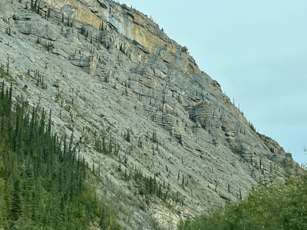
After leaving Engineer Creek Campground, we drove along the Ogilvie River Valley as it cut through more weathered dolomite terrain as I described in my previous blog. Again, this was the eastern end of the unglaciated Beringia area, which was ice free during the Ice Age and eroded and shaped by wind and water instead of glaciers. We passed a formation called Elephant Rock, bit it was too far east for a decent photo. The Milepost explained that its historic significance was based on archaeologists discovering the bones of both wooly mammoths and elephants which roamed this part of the Beringia 8,000 years ago.
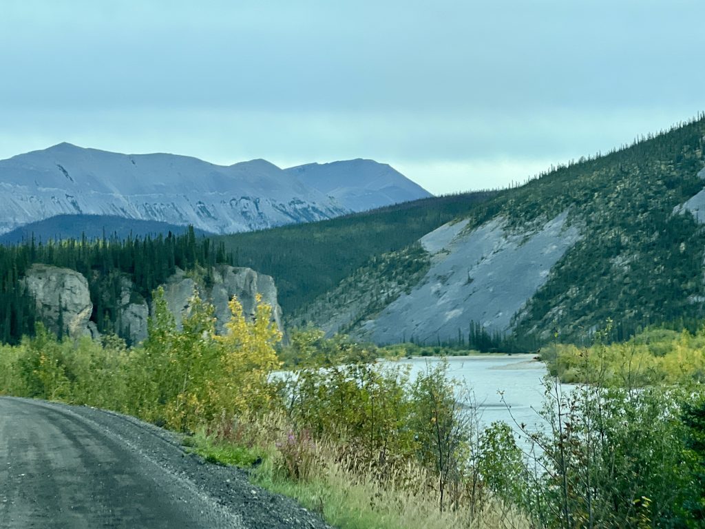
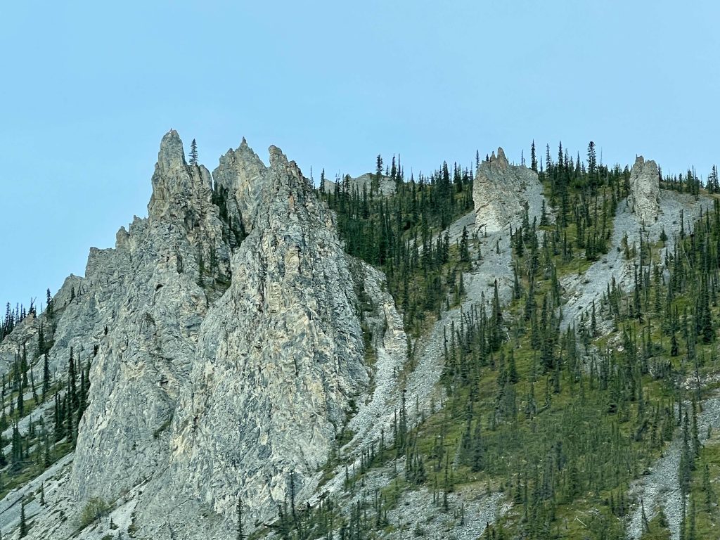
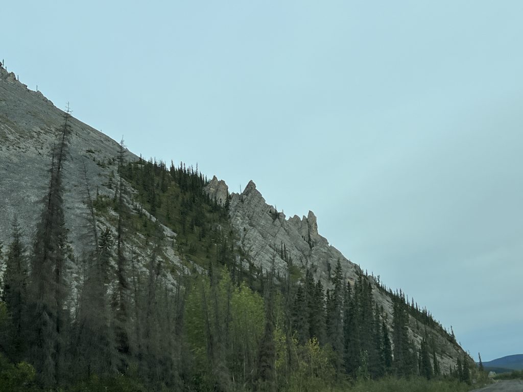
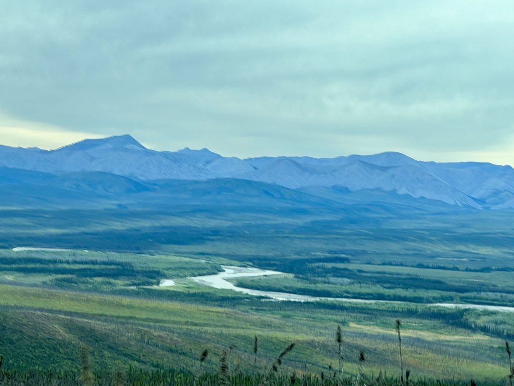
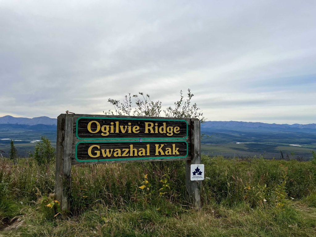
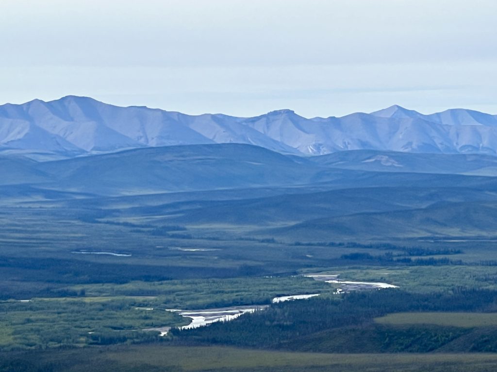
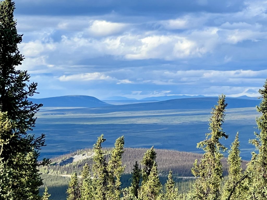
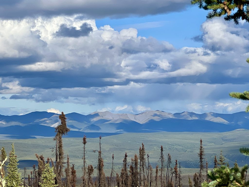
Thirty-two miles north of our campground, we climbed Seven-Mile Hill and stopped at the Ogilvie Ridge/Gwazhal Kak Viewpoint over 1,000′ above the Ogilvie River Valley. Interpretive panels reiterated the geology of the area, we took a potty break, and I captured pictures of the valley to the north and south. It was here we heard from tourists headed south, that we were about to encountered the extremely bumpy and dreaded area known as the “Cobblestones.” How bad could it be?
We were now driving atop the Eagle Plains Ridge escarpment and crossed the second continental divide at 1,969 feet. About an hour out from Eagle Plains, we ran into the cobblestone road section. MFI wrote about how bad this roadway was in her blog, but this video helps add a visual and audible perspective.
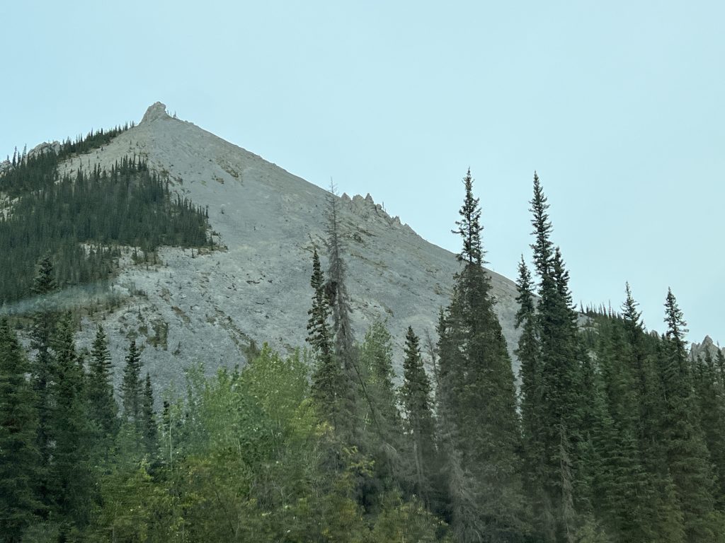
After what seemed to take all day, we arrived at Eagle Plains (our midway point to Inuvik) in 3 hours and 35 minutes. The facilities there were constructed in 1978 just before the Dumpster was completed. Despite the inherant difficulties of remote Arctic construction, bedrock along Eagle Plains Ridge was at the surface, so engineers didn’t have to sink piles deep into permafrost as originally expected. The campground was very rough, but at least we were within convenient walking distance of the showers/restrooms and restaurant.
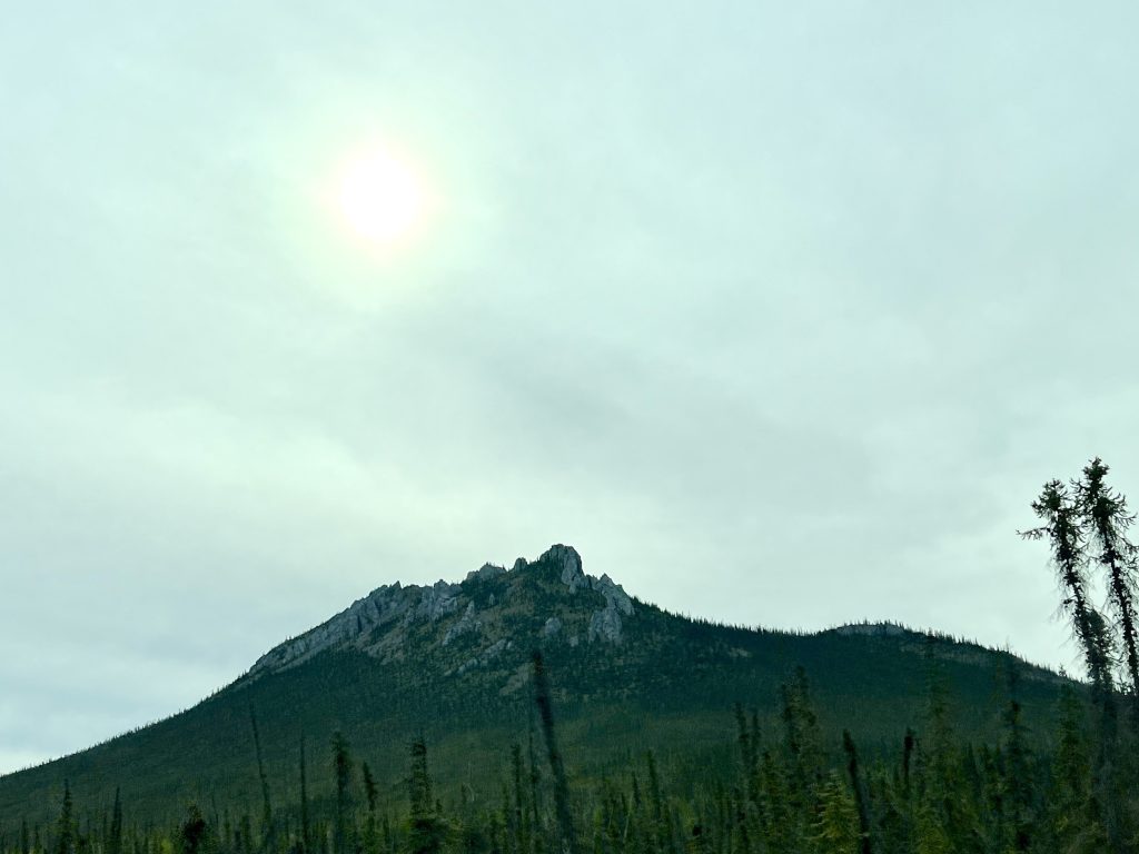
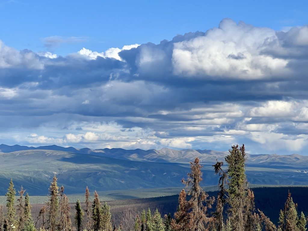
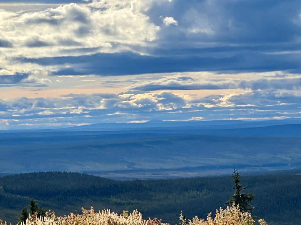
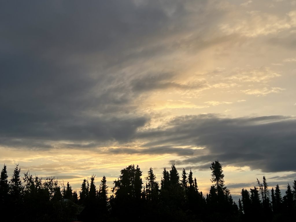
I took some pictures of the beautiful views from the ridge. We hadn’t seen weather this nice since early yesterday. We ate a great dinner (prepared by others) and enjoyed an equally great breakfast next morning.
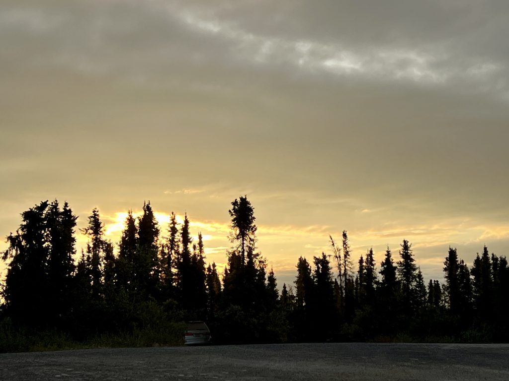
Even the sunset cooperated. If conditions were like this all year long, maybe (just maybe) we’d reconsider calling it an oasis. Nah, we knew better!
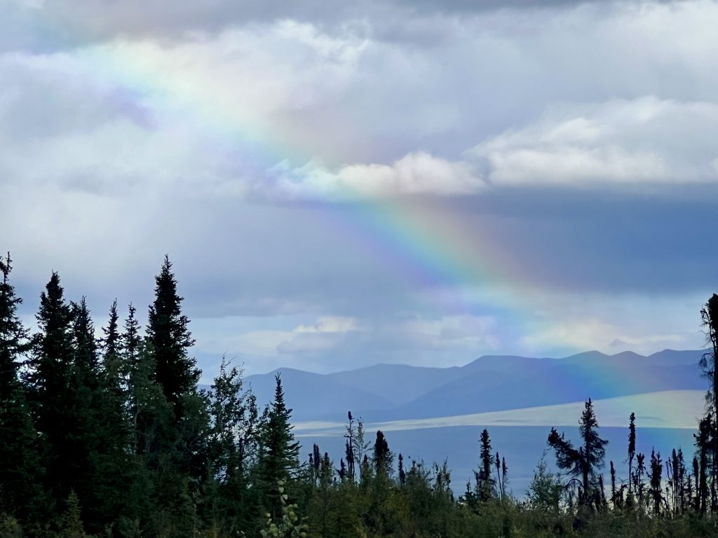
Although there was more damage to repair inside Arthur, and we were still shaking a bit from the cobblestones, we toasted with wine and celebrated surviving another day. We took the evening rainbow as a positive sign that our safe travels would continue.